Description
Getting the best data
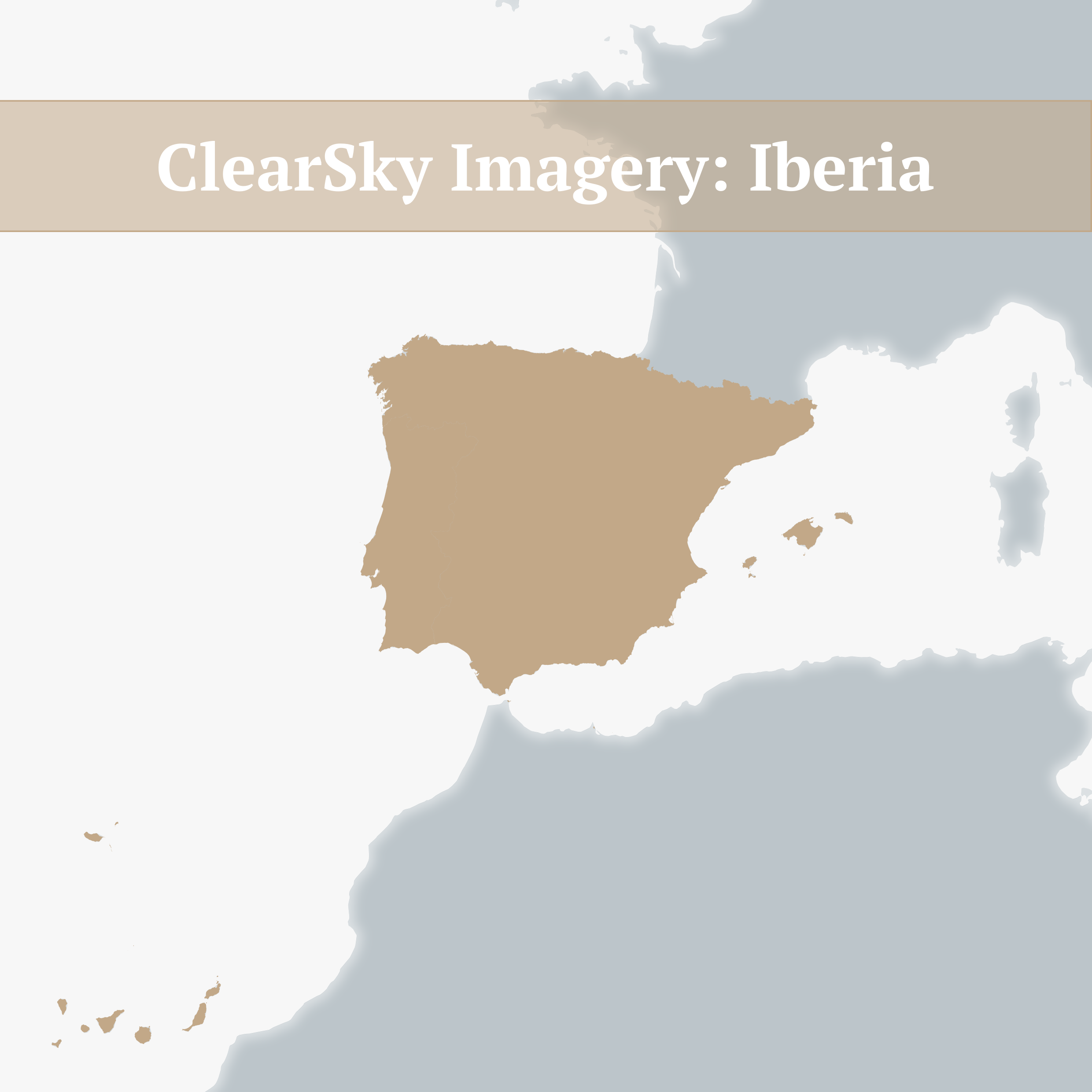
ClearSky Imagery are satellite image maps without the cloud cover.
Most raw satellite images have some level of cloud cover. Clouds often obscure details and features of interest. Cloud free images can be simulated by combining a series of images in time. The final product is a composite of those images, choosing the best quality data and merging them to produce high quality, visually striking images that look as though they were taken on the same day.
ClearSky Imagery uses images from the Copernicus Sentinel 2 mission, the most comprehensive, high quality Earth Observation programme available.
Why use ClearSky Imagery?
We remove the clouds so you don’t have to. Creating cloud free mosaics is time consuming and technically challenging.
- We use the highest quality source data.
- Different product versions are available to suit budget and user needs.
- Annual products are available from 2018 allowing for change detection applications.
- Full spectral information is retained allowing for complex analysis and value added product creation.
How is ClearSky Imagery produced?
We use a cloud-based processing system. Production steps include:
- Step1: Define area of interest, e.g. country or region
- Step 2: Define the time period of image acquisition, e.g. a calendar year or period of months such as wet season or dry season.
- Step 3: Define image output
The system aligns the available imagery, identifies cloud free pixels and chooses the best pixel from those available. The image is then reconstituted to create the output image. By maintaining the full range of spectral detail, the images can then be rendered in various ways. We render two main outputs as Geotiffs as well as providing an option to purchase the complete reflectance data.
The two main Geotiffs are:
- True colour: designed to look the most natural to the eye. This utilises red, green and blue spectral bands.
- False colour: designed to accentuate vegetation cover and other natural features (e.g. water bodies). Utilises the shortwave infra-red, near infra-red, red spectral bands (RGB).
The complete reflectance data includes:
Bands 2 (blue), 3 (green), 4 (red), 8 (near infrared) and 12 (short-wave infrared) of the sentinel imagery, with the full range of values from which to create derived products such as land cover classification and change classification.
Post processing includes image enhancement techniques to ensure consistent colour balance. Resulting images are tiled (256×256 pixels) in PNG or GeoTIFF format for efficient download or via image streaming service.
Select a product that suits your usage
RGB Geotiffs
| Product description | Analysis ready imagery. Intermediate product provided with georeferencing and meta-data intended for use within a desktop or corporate GIS system. Includes both true and false colour representations. |
| Typical users | Business Imagery analysts Professional GIS |
| Typical uses | Corporate GIS applications Visual interpretation Feature extraction Change detection when using multiple maps |
| Includes | 8bit unsigned Geotiff in True Colour 8bit unsigned Geotiff in False Colour |
Complete Reflectance Data
| Product description | Analysis ready imagery. Professional level product provided as imagery with full array of surface reflectance data (i.e. Sentinel 2 spectral bands). |
| Typical users | Imagery analysts Remote sensing experts |
| Typical uses | Information extraction Land cover classification Multi-temporal analysis/change detection |
| Includes | 64bit floating point Geotiffs of bands 2 (blue), 3 (green), 4 (red), 8 (near infrared) and 12 (short-wave infrared) with full range of values for production of derived products. |
